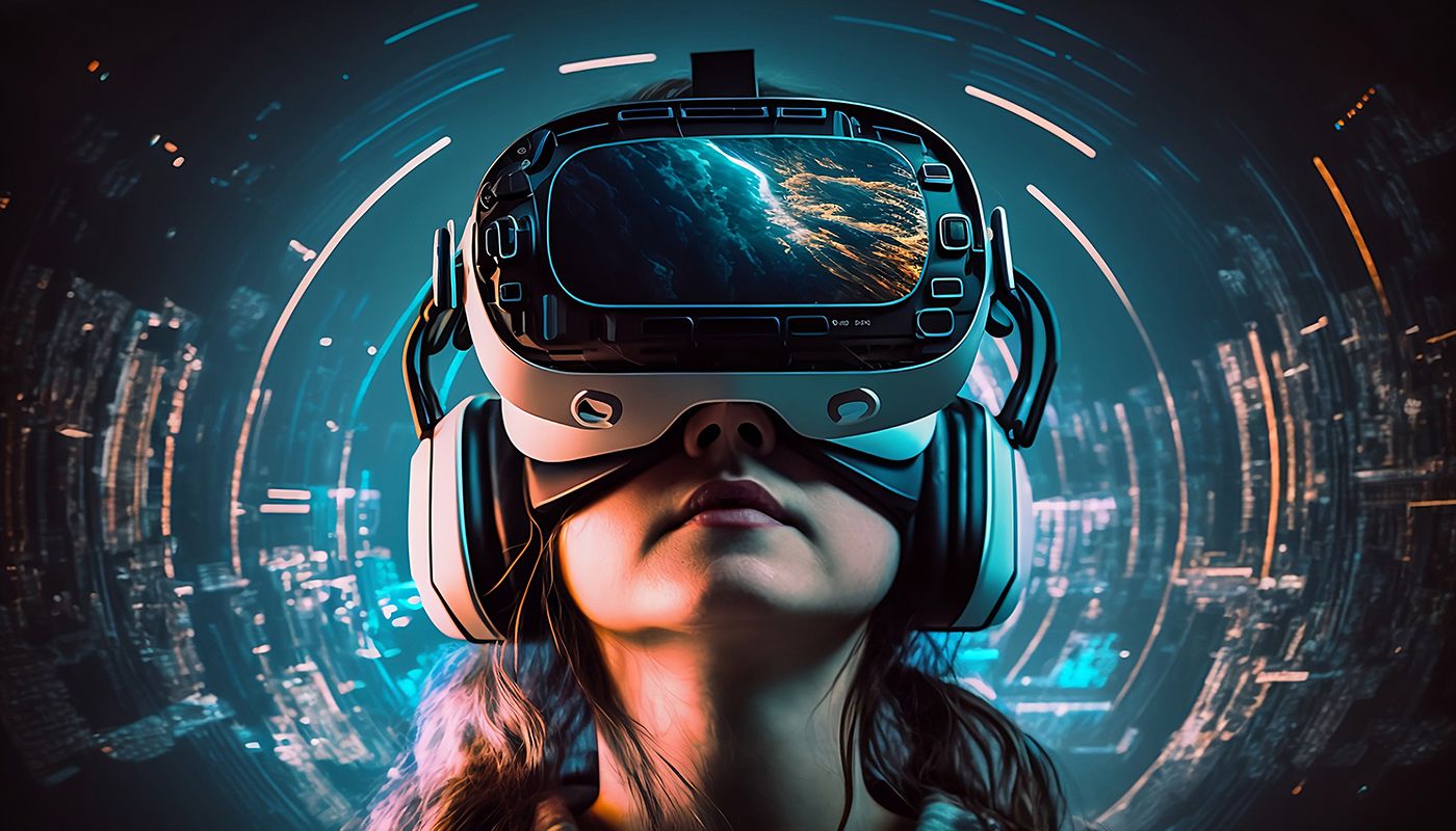
The fusion of VR and AR with Geo-visualisation and GIS paves the way for enriched, immersive experiences that facilitate a deeper understanding and interaction with geospatial data. The integration empowers users to visually explore and interact with geographical data in a three-dimensional space, enabling them to gain insights that might have been unattainable through traditional two-dimensional representations.
Virtual Urban Planning – Shape the Cities of Tomorrow
First up on the list is urban planning. With VR and AR joining forces with GIS, city planners could virtually walk through the streets they are yet to build. Talk about taking a stroll in the future! GIS data could feed into VR environments, allowing planners to analyse traffic flows, population densities, and environmental impacts in real time. This combo could be the holy grail of sustainable and efficient city development.
Disaster Response – Heroes with Tech Capes
When natural calamities strike, time is of the essence. Imagine first responders equipped with AR goggles that overlay GIS data right onto the disaster scene. They could see the layout of the terrain, safe and unsafe zones, and the best routes for evacuations, all while being on the ground. This synergy could revolutionise disaster management and save countless lives.
Education – A Time Machine and Magic Carpet Rolled into One
Education would get a hefty upgrade, too. Virtual field trips could let students explore ancient civilizations and geographical wonders without leaving the classroom. Using GIS data in VR environments, students could witness tectonic shifts, or watch the rise and fall of empires. Historical maps and geospatial data could be visualised in AR, making learning an interactive, immersive adventure.
Agriculture – Farmers Get a Tech Makeover
Even farming gets in on the action. Think precision agriculture with AR and GIS tagging along. Farmers could use AR glasses to visualise geospatial data such as soil quality, moisture levels, and crop yields as they walk through their fields. This could lead to smarter decisions and a bountiful harvest, while keeping the land healthy.
Tourism – Traveling with a Digital Tour Guide
Ever wandered around a new city wishing you had a personal tour guide? With AR and GIS, your smartphone could become just that. Point your phone at a historical building and watch its history come to life through AR. With geo-visualisation, tourists could even see how the location evolved over time.
Ocean Exploration – Dive Into The Deep Without Getting Wet
Let's set sail and plunge into the oceanic depths. Ocean data is vast, literally and figuratively. Now imagine coupling this with VR, AR, and GIS! Marine scientists could explore the mysteries of the deep blue without even getting their feet wet. AR goggles could overlay sea currents, marine life data, and oceanographic maps on a researcher's view.
For the public, think virtual dives into coral reefs, exploring underwater ruins, or witnessing the marine ecosystem. This not only makes for an epic adventure but also raises awareness about the fragile state of our oceans.
In maritime industries, vessels equipped with AR tech could visualize undercurrents, foresee storms, and navigate through treacherous waters with real-time geo-visualised ocean data. Fishing industries could benefit too, by locating fish populations and navigating to avoid overfishing certain areas, all of which contribute to sustainable practices.
Climate Analysis – See the World Breathe, Literally
Now let’s turn our gaze to the ever-pressing issue of climate change. Monitoring climate is a colossal task, with heaps of data from air, land, and sea. The fusion of VR, AR, geo-visualisation, and GIS could transform how we understand and tackle climate change.
Scientists could step into VR environments to see how ice caps have receded over time, or get a 360-degree view of deforestation across continents. Being able to "experience" these changes could bring a new level of understanding and urgency to the climate dialogue.
For policymakers and activists, AR can offer an immersive way to communicate the consequences of climate change. Imagine an AR app that shows how a street will look in 20 years with rising sea levels. This could be a powerful tool for change.
Furthermore, integrating real-time climate data with AR could help in tracking pollution levels, predicting weather patterns, and even preparing for climate-driven conflicts over resources.
Citizens, too, could make use of climate data in everyday decisions, like planning outdoor activities or even making more sustainable choices based on real-time ecological footprints.
Onwards and Beyond
As we can see, when VR, AR, geo-visualisation, and GIS join hands, they usher in a realm of endless possibilities. From diving deep into the oceans to taking a hard look at our changing climate, this combination empowers humanity to explore, learn, and make the world a better place. The future is not just about technology; it's about how we wield it for the greater good.